What is Multispectral ?
Multispectral imaging allows users to capture an image with a specific wavelength range across the electromagnetic spectrum. This wavelength cannot be captured by standard cameras regardless of commercial or industrial or even with human eyes. To capture different wavelengths, users need to use special instruments that are only capable of capturing specific wavelengths. This wavelength is known as Near-infrared (NIR), RedEdge, Red, Yellow, Green, Blue and Coastal. Most of this wavelength can be seen by human eyes except NIR and RedEdge.
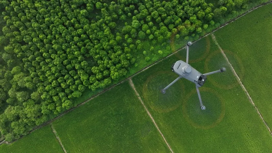
Multispectral is widely used in other industries, but as of now Agriculture is the main industry that uses this technology. Multispectral has provided great assistance in this industry, included crop monitoring, disease detection, water management and plant monitoring. Before this technology, it was difficult for farmers to manage a big scale farm especially in crop health. Now with this technology their crop is much easier to manage such as to determine crop health area that will allowed disease control and harvesting management.
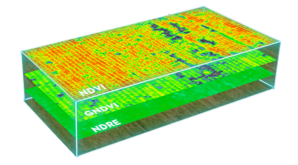
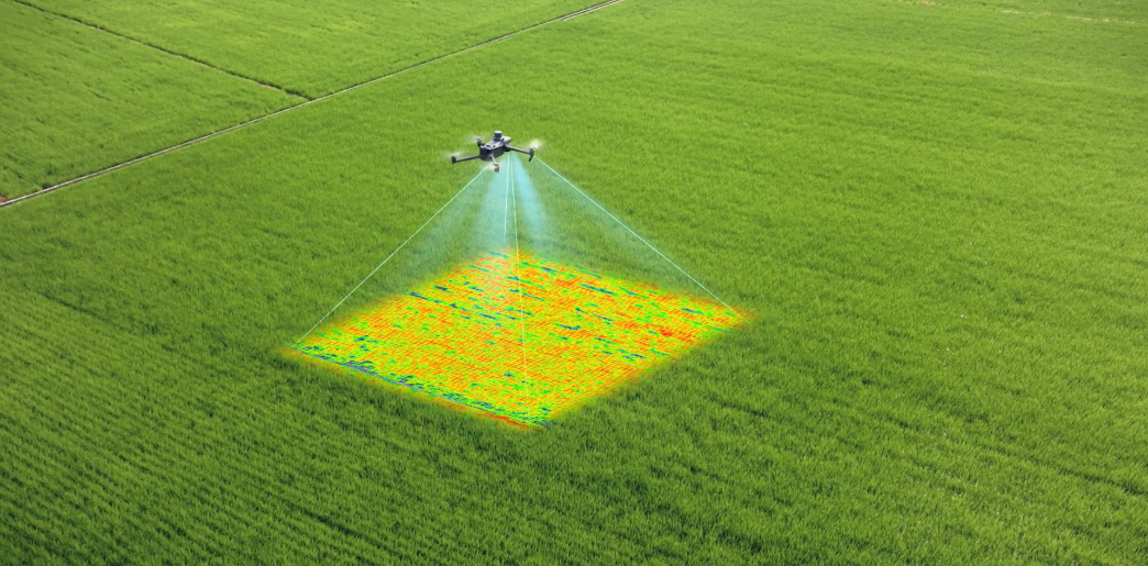
There is much analysis data that can be obtained from multispectral in agriculture such as Normalized Difference Vegetation Index ( NDVI ) and Normalized Difference Red Edge ( NDRE ). This analysis is capable of determining plant health and provided reliable data to determine next action.
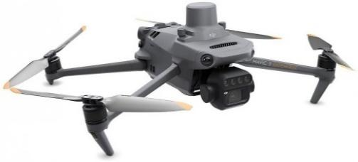
Mavic 3 Multispectral
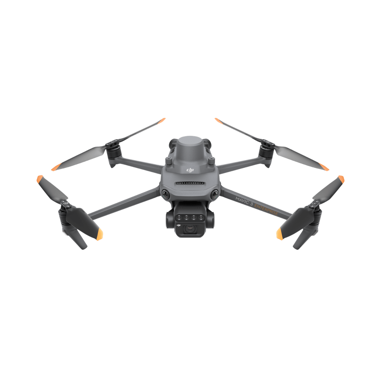
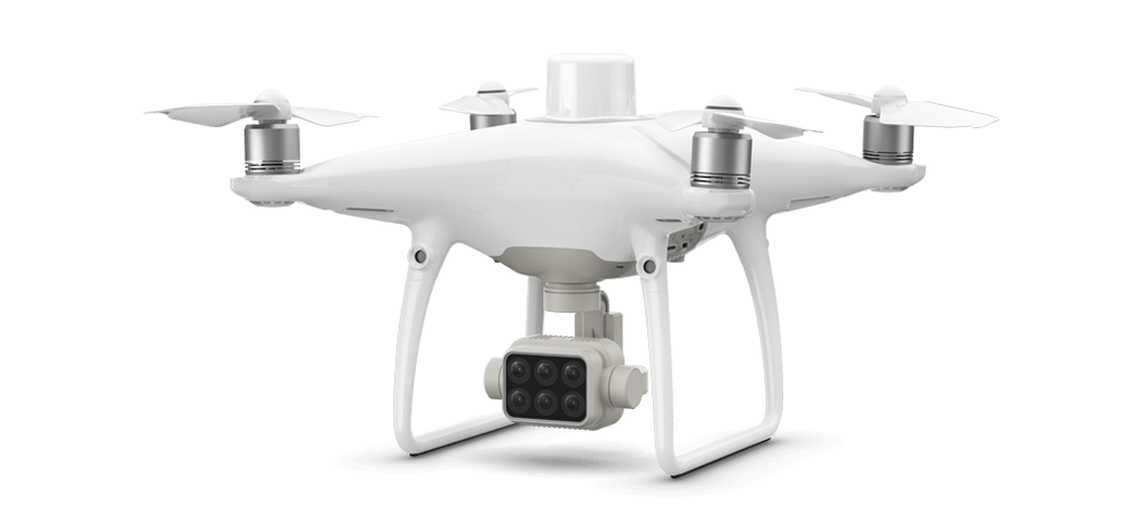
Multispectral data used to only be able to be obtained by using satellites. However, drone technology and multispectral has rapidly grown, DJI managed to integrate this technology and allow drones with Multispectral mapping capabilities. DJI has its predecessor multispectral drone known as Phantom 4 Multispectral.With feedback coming from DJI users that request longer fly time and higher resolution image, DJI has come out with new Multispectral drone called Mavic 3 Multispectral ( M3M )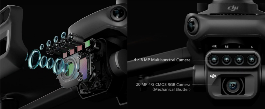
M3M is equipped with four multispectral cameras that consist of Near-Infrared, RedEdge, Red and Green. All this camera is using a 5mp camera sensor. An additional tele-camera in M3M has attached with a 20 MP 4/3 CMOS Camera. Bigger camera sensor and longer battery life for almost 43-minute allowed users to cover a larger mapping area compared to its previous DJI multispectral model.
Table below showing a comparison spec between Mavic 3 Multispectral and Phantom 4 Multispectral.
Oil Palm Mapping Comparison
Above showing the comparison between the capabilities of Mavic 3 Multispectral and Phantom 4 Multispectral performance in doing mapping missions. The targeted mapping area is Oil Palm Plantation and the mapping size is 6 Hec. From the table above, it shows a significant difference between M3M and P4M mapping time and result.
Using the same mapping setting, M3M only needs 13 minutes to finish the mapping, meanwhile P4M needs 26 minutes to finish the mapping. Total of photos taken by M3M is 372 photos not including multispectral photos, while P4M takes 612 photos. From this comparison between mapping time and number of photos M3M performs 50% better than P4M. Even with the same setting being used in mapping, M3M can finish the mapping much faster and take less photos thanks to its upgraded size frame censor.
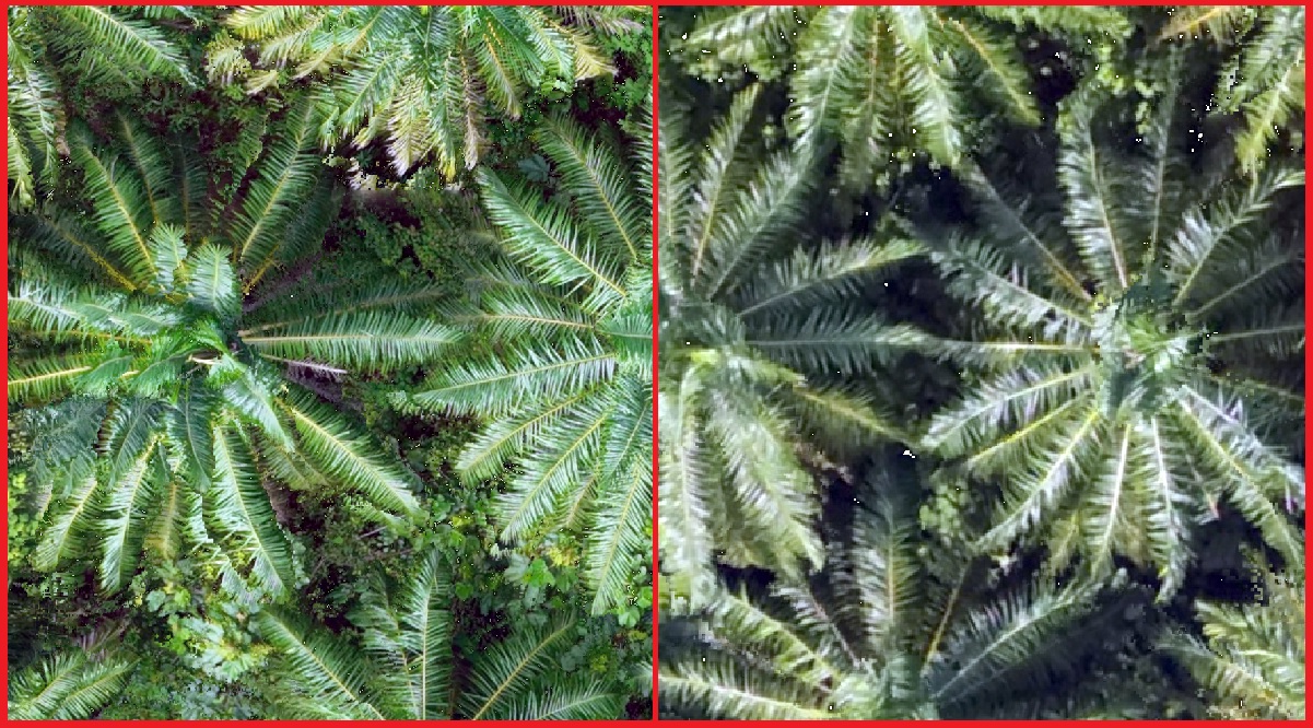
Compared to the data quality, M3M has been equipped with a 20MP RGB camera and P4M is using 5MP RGB. From the image above, M3M is a sharper photo and provides more detailed data. With the same height, the detail of foliage from M3M is much clearer than P4M. Comparing the color of photos taken from M3M and P4M, M3M color is much more vibrant than P4M. M3M still can be seen the bush under the oil palm canopy compare to P4M.
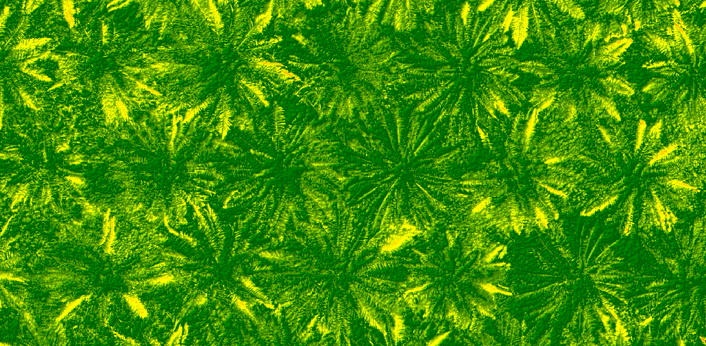
Normalized Difference Vegetation Index ( Phantom 4 Multispectral )
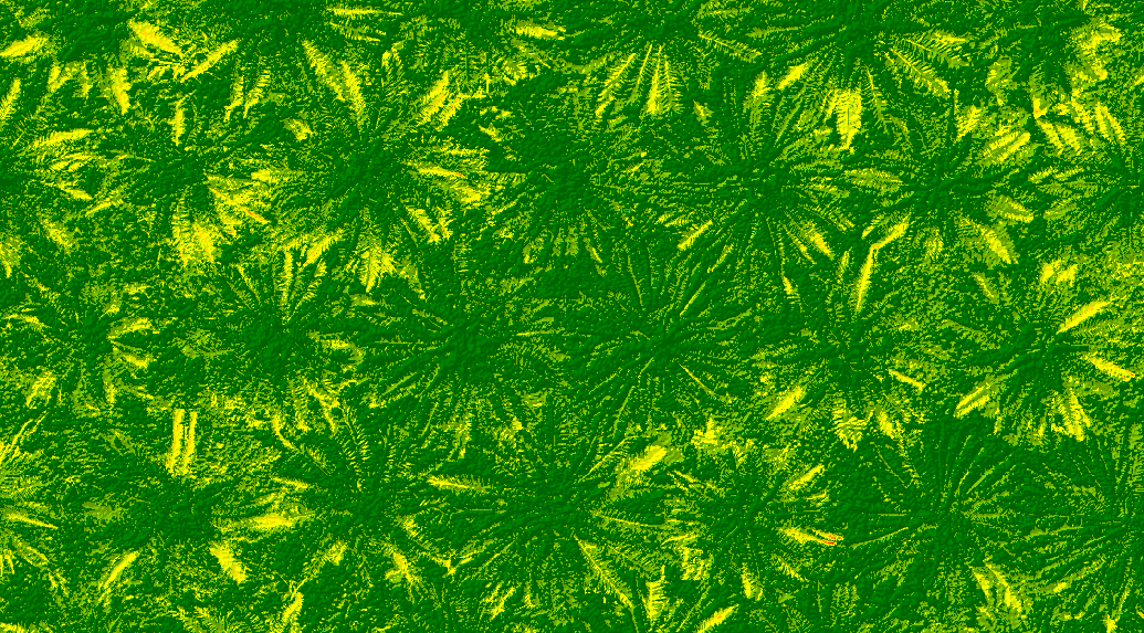
Normalized Difference Vegetation Index ( Mavic 3 Multispectral )


From Normalized Difference Vegetation Index ( NDVI ) data, there will not be much difference between both data M3M and P4M. But the color and NDVI value will be a bit different between each drone, this is because of the effect of different mapping time. Multispectral data is relying on the sun brightness to obtain the data as the drone flies at different times will affect the value of the NDVI and slightly different between each data. If users wish to solve this difference problem, users need to use a calibration panel where this calibration panel will standardize and adjust the brightness for every data. The next things that can see the difference is the pixel size, even this drone being flying with the same mapping setting and height, but users can see that M3M has more smaller pixel size compare to the P4M, reason behind is P4M used 2MP multispectral camera but M3M used 5MP multispectral camera. With this users are able to get more detailed multispectral data on M3M compared using P4M.